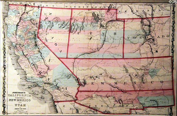
Map showing alternate plan (1862) to divide New Mexico and Arizona horizontally at New Mexico History Museum. Santa Fe, NM.
Photo by Jim Steinhart © 2012, all rights reserved. (Ref: NMFB305)
Click an index below to see this photo among related images:
Palace of the Governors & New Mexico Museum of History, Santa Fe, NM
Captions List for Santa Fe, NM