



Afsluitdijk Barrier Dam, NL Photos |
Afsluitdijk barrier dam was the result of the major land reclamation & flood protection project of the 1930's which created the outer Waddenzee and the inland freshwater lake Ijsselmeer. This barrier dam (32 km long) provides a fast causeway from North Holland to the Province of Friesland. |
| | | |
| Click thumbnail to enlarge. F11 to view website full screen. |
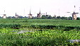 | 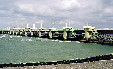 | 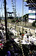 | 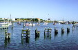 |
| Rows of windmills at Kinderdijk. Netherlands. | Stormvloedkering, storm dyke at Oosterschelde. Netherlands. | Boaters waiting in locks leading to sea in Afsluitdijk. Netherlands. | Canal to the sea in Afsluitdijk. Netherlands. |
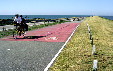 | 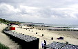 | ||
| Bicyclists riding along the 30 km dike in Afsliuitdijk. Netherlands. | Beaches on coastline near Middleburg. Middelburg, Netherlands. |
| See Also: | |
All photos on this page are originals by & copyrighted by Jim Steinhart. All rights reserved. Permission required to use.  |